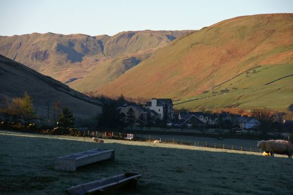
Carlin Gill from Tebay.
Start. Tebay.
Route. Tebay - Lune's Bridge - Brockholes - Salterwarth Bridge - Fairmile Road - Carlingill Bridge - Carlin Gill - The Spout - Uldale Head - Rispa Pike - Whitefold Moss - Waskew Head - Tebay.
Notes. Where to go on a glorious Easter Sunday, the Lakes will be crowded, the Dales not so busy, but I was there yesterday, maybe try the Howgill Fells, on the to do list Carlin Gill from Tebay, a long walk in but once out of the confines of the gill easy walking across the rolling summits of the western Howgill's, my mind made up I would dare to show my face in Tebay once again.
I parked near the recycle bins next to the play area, heading south through the village my eyes set firmly on Lune's Bridge, from where I would follow the farm lane to Brockholes, striding out along the tarmac lane I soon reached Brockholes, now holiday accommodation. A path lead behind the farm buildings onto the banks of the River Lune, through pastures and woodland in no time at all I reached Salterwath Bridge. I entered a tarmac lane the beginning of Fairmile, left to follow the route of the old Roman Road eventually reaching Carlingill Farm, just round the corner lay the entrance to Carlin Gill. I entered the gill striding out along the left bank, further up the gill the narrow path clings to the steep side of the ravine, the further up I ventured the narrower the gill became. After passing Black Force it occurred to me I had to find some way out of the gorge, now with high cliffs on both sides I found myself rock hopping in the gill bottom, then suddenly I was confronted by The Spout, a dead end. If in doubt have a brew, I sat drinking coffee staring up at the waterfall, still no way up? I was sitting in the shade, it was freezing, I'd just about made my mind up to descend to hunt for another route when the sun lit the far bank, there it was a path, christ it was steep, I climbed round a giant boulder adorned with a bush, there in front of me like a ladder the path climbed straight up the hill. After scrambling up the side of a large slab I found myself on the lower slopes of Uldale Head en route to Blakethwaite Bottom where I intended to start my ascent of Uldale Head. After another brew to recover, I started the steep ascent west, swinging north to reach the summit, continuing north across boggy ground I soon found myself on the summit of Rispa Pike, marked by a fine wind shelter it was a good place to finish the coffee. I descended to the northwest across Whitefold Moss to reach a sheepfold and obvious path leading across the lower slopes of Knott and Weather Hill, passing the sad remains of Waskew Head, all that remained was an east stroll down the farm lane back into Tebay.

Early morning views across Tebay.
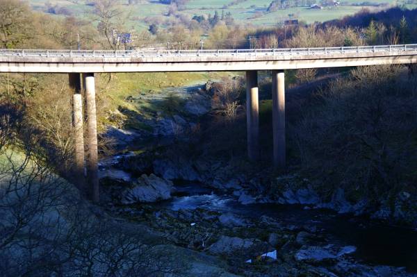
The River Lune below Tebay.
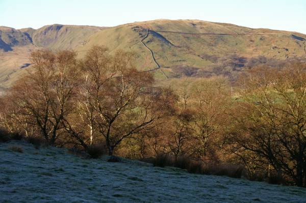
Birk Knott across the Lune Valley.
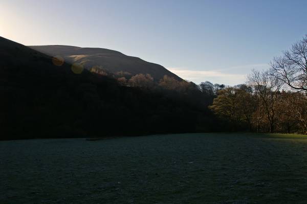
Strolling along the banks of the River Lune looking to Blease Fell.
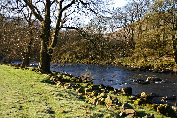
The beauty of morning on the River Lune.
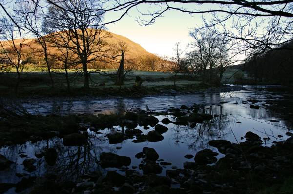
Morning sunlight on Jeffrey's Mount.
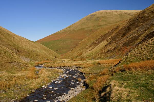
Carlin Gill looking back to the steep slopes of Blease Fell.
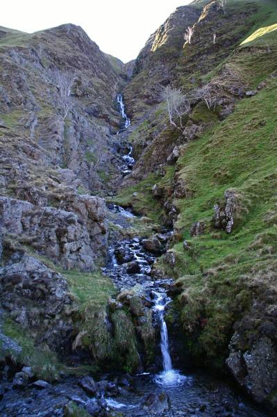
The truly humbling sight of Black Force.
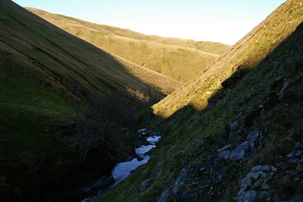
Views down Carlin Gill.
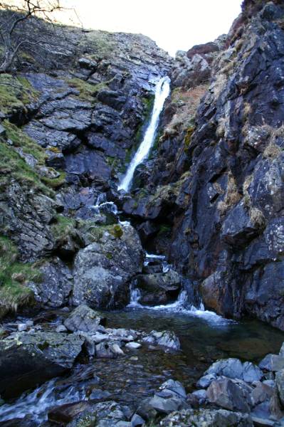
The drama of The Spout a dead end, not quite, above the tree top left can be found a steep path.
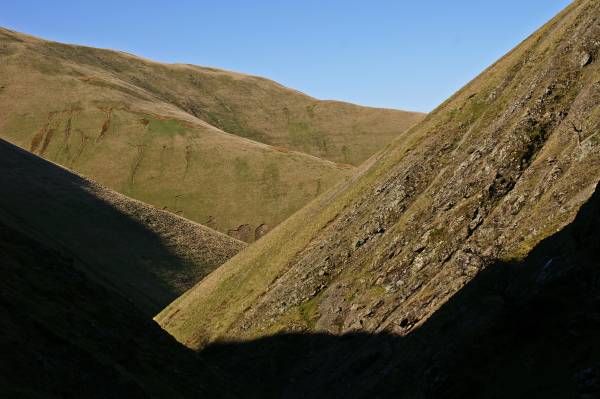
One final look back before I attempt to escape the confines of the gill.
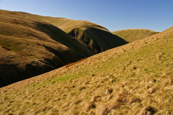
Taking a breather having a brew recollecting the adrenalin fueled ascent from the beck bottom, looking to Blake Ridge above the crag.
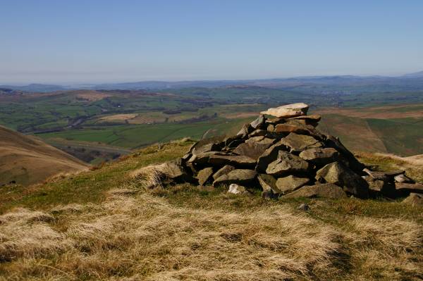
A stunning view from a fine cairn passed on the ascent of Uldale Head, Morecambe Bay on the Irish Sea coast.
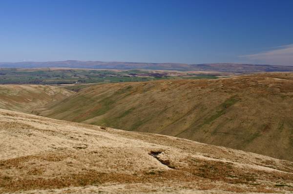
Across the horizon the northern Pennine's.
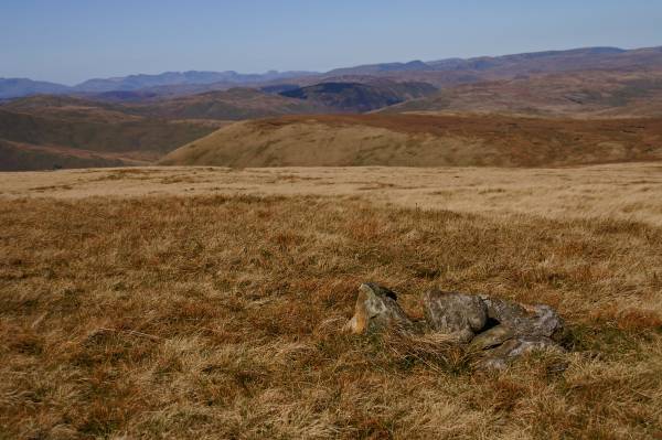
From this small insignificant cairn marking the summit of Uldale Head incomparable views to the Lake District skyline.
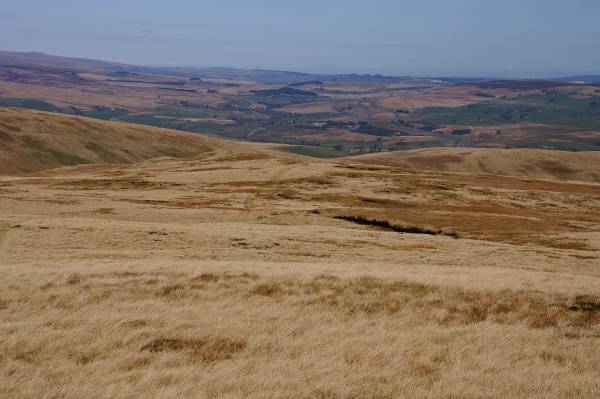
Views to the north across the broad grassy ridges of the Howgill Fells.
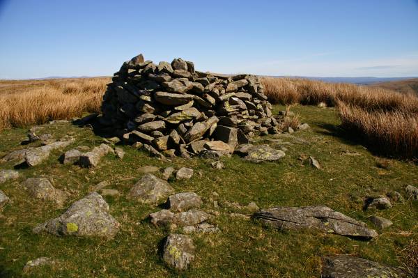
The summit Rispa Pike.

From the summit Rispa Pike views across Uldale to Hand Lake and the eastern Howgills.

Orton Scar as seen across the upper Lune Valley.
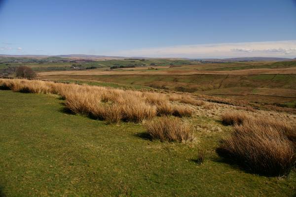
The stunning panorama from the lower slopes of Weather Hill.